NavIC helps Indian forces carry out very precise actions. In the future, our army could use NavIC to hit exact targets with very little damage to other areas.
When we think of national security and using our own technology, one important topic is often forgotten—India’s own satellite navigation system called NavIC. Most of the time, news talks about tanks, missiles, and fighter planes, but real power can also come from something quiet and far away in space. That is what NavIC is. It helps guide India’s future with great accuracy. NavIC is not just a piece of technology—it shows how far India has come. We were once a country that imported foreign technology. Today, we are building world-class systems like NavIC ourselves.
NavIC helps Indian forces carry out very precise actions. In the future, our army could use NavIC to hit exact targets with very little damage to other areas. That is how powerful this system is. For normal people, NavIC gives location accuracy of about 5 to 20 meters. But for military use, with special equipment, NavIC can be accurate up to a few centimeters. That means every important decision and movement by our forces can depend on signals sent from Indian satellites flying 36,000 kilometers above the Earth.
NavIC stands for Navigation with Indian Constellation. The word “NavIC” also means “navigator” in Sanskrit. It is India’s answer to the American GPS system. But NavIC is not just an alternative—it is made to match India’s own geography and national security needs. NavIC uses two radio frequency bands—L5 (1176.45 MHz) and S-band (2492.028 MHz). The use of the S-band makes NavIC special, as very few countries in the world use this band. This gives India a big strategic benefit. Newer second-generation NavIC satellites, such as NVS-01 launched in May 2023, also send signals on the L1 frequency (1575.42 MHz). This is the same frequency used by most GPS-enabled mobile phones. By using different frequencies like L5, S-band, and L1, NavIC can fix signal errors caused by the atmosphere and give better and more accurate location data.
The idea for NavIC came after a difficult lesson during the Kargil War in 1999. At that time, India asked the United States for GPS data to help in the war. But the US said no. That moment showed how risky it is to depend on another country during an emergency. This incident made India realize the importance of having our own navigation system. In May 2006, the Indian government approved the NavIC project. From that day, India began working hard to become fully independent in satellite navigation.
Today, NavIC is growing quickly and is being used in many civilian services as well. NavIC-based trackers are now mandatory in all commercial vehicles in India. The government also wants smartphone companies to include NavIC support in mobile phones. Already, about 8,700 trains in India use NavIC for tracking. The government plans to increase this number to 12,000 trains. NavIC provides two types of services—Standard Positioning Service (SPS) for general users, and Restricted Service (RS) for military and strategic use. Right now, NavIC covers India and an area around it of about 1,500 kilometers. But ISRO has plans to expand NavIC to cover the whole world. To do this, ISRO wants to place twelve satellites in Medium Earth Orbit (MEO). If this is done, India will join the big group of global navigation system providers like the United States (GPS), Russia (GLONASS), China (BeiDou), and Europe (Galileo).
However, NavIC is facing some challenges today. So far, eleven satellites have been launched for the system. Out of these, only four satellites are now providing full Position, Navigation, and Timing (PNT) services. Four others are working for one-way message broadcasting. One satellite has been decommissioned, and two more failed to reach the correct orbit. This means that India needs to replace and add new satellites soon. ISRO is already working on this. It plans to launch NVS-03 by the end of 2025, followed by NVS-04 and NVS-05 with a gap of about six months each. These new second-generation satellites will have improved atomic clocks. Some of the clocks will be made in India. This is very important because earlier satellites had problems due to clock failures.
NavIC is not just a technical system. It is a proud symbol of India’s strategic independence. It shows the world that India can build and manage advanced systems on its own—without having to depend on any other country. From the pain of being denied help during the Kargil war to the power of launching our own navigation satellites, NavIC tells the story of India’s progress. It shows that India has moved from being a country that borrowed technology to becoming one that builds it—and shares it with the world. In today's world, where accurate information is power, NavIC is India’s eye in the sky—and it belongs only to India.
(The author of this article is a Defence, Aerospace & Political Analyst based in Bengaluru. He is also Director of ADD Engineering Components, India, Pvt. Ltd, a subsidiary of ADD Engineering GmbH, Germany. You can reach him at: girishlinganna@gmail.com)
(Disclaimer: The views expressed above are the author's own and do not reflect those of DNA)

 OMG! Tamannaah Bhatia finally BREAKS SILENCE on dating rumours with Virat Kohli: 'I met him...'
 Centre reviewing list of US goods exempted from tariffs? MEA issues statement
 'I gave up non-veg': Gauahar Khan lost 10 kilos in 10 days after Pregnancy, shares her diet
 Indian Army's BIG statement after officer caught assaulting SpiceJet staffer on camera, says, 'Committed to...'
 BIG jolt to Pakistan's Shehbaz Sharif as PTI gears up for mass demonstration to demand Imran Khan's release: 'About justice...'
 Exclusive: Jyoti Malhotra on Volvo XC60, New Launches & Volvo’s India Strategy | Volvo Car India MD
 Exclusive Interview: Rajeev Kapur on Steelbird’s New Helmets & Global Strategy!
 Futuristic Education: AI or Natural Intelligence, What's in focus? | Rajiv Tandon, BITS Pilani Digital
 Tata Harrier EV Review | Most Advanced Electric SUV from Tata?
 Vida VX2 Plus Electric Scooter Review: Range, Power & Real-World Ride Tested!
 Meet man who rejected Rs 1.5 billion job offer from Mark Zuckerberg, now his startup is valued at..., check his viral LinkedIn story
  Instagram new rule: THESE users can no longer use live feature, check details
 Who is Matt Deitke? 24-years-old AI genius, who turned down Meta's 125 billion USD offer, later Mark Zuckerberg personally met him with double paycheck
 This is world’s longest car, has helipad, golf course, swimming pool; with over 75 seats, owned by THIS billionaire, not owned by Elon Musk, Mark Zuckerberg, Mukesh Ambani, Gautam Adani
 Gautam Adani takes BIG step, as Adani group set to launch major city-side development at 8 airports across 655 acres, phase-1 to kick-start in...
 Munjya, Stree 2, Roohi and more new-age Bollywood horror-comedies that'll scare and tickle you
 Masaba Gupta’s weight loss secret after motherhood, 5 delicious meals that got her back in shape
 Rubina Dilaik’s crème brûlée paratha is the 'desi' dessert twist perfect for monsoon, recipe inside
 Keerthy Suresh to Kangana Ranaut: 5 Indian actresses who brilliantly portrayed iconic actresses on-screen
 In Pics: Huma Qureshi and Saqib Saleem’s stunning Mumbai bungalow with private pool and art collection
 From Juhu to Bandra West, THESE 5 areas of Mumbai's most expensive and posh areas, home to billionaires, celebrities
 Who was Dr AK Rairu Gopal? Kerala doctor who charged Rs 2 as his consultation fee passes away
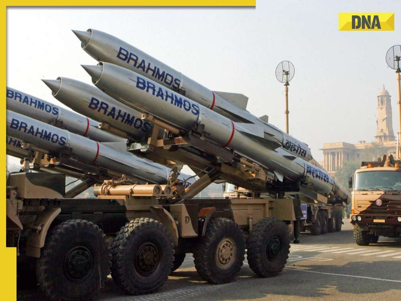 Beyond Supersonic: India unveils BrahMos-II, a new age of Hypersonic warfare
 Meet woman, an SRCC-graduate, one of the youngest female IAS officers who cracked UPSC at 21, she is...
 Meet Tina Dabi's ex-husband's second wife, medical professional, who is perfect example of beauty with brain, she is from...
 Meet man, son of engineer who topped NEET PG 2024 with AIR 1, got admission in..., he is from...
 NEET PG 2025 today, know shift timings, documents to carry, gate closing time, and...
 CBSE 10th Compartment Result 2025 to be declared on results.cbse.gov.in; Know how to check, download, date
 Maruti Suzuki's e Vitara set to debut electric market at Rs..., with range of over 500 km, to launch on...
 This is world’s most expensive wood, cost of 1kg wood is more than gold, its name is..., is found in...
 This luxury car is first choice of Indians, even left BMW, Jaguar, Audi behind in sales, it is...
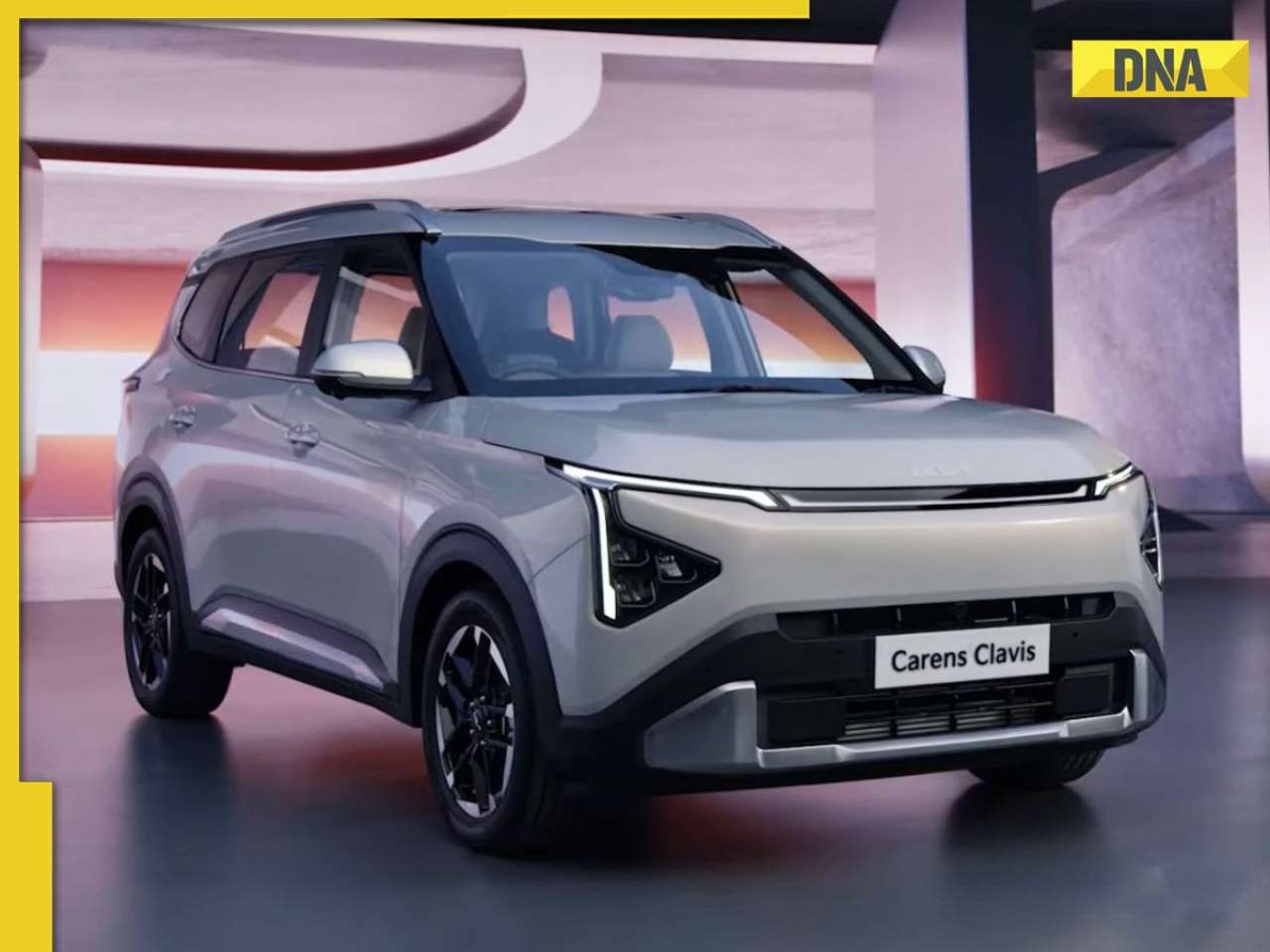 Kia India unveils Carens Clavis: Check features, design changes, price and more; bookings open on...


 "File image")
)
)
)
)
)
)
)
)
)
)
)
)
)
)
)