With this, India and the US have marked their maiden space collaboration. ISRO's GSLV F-16 injected the NISAR satellite into the intended Sun Synchronous Polar Orbit (SSPO).
ISRO has successfully launched the NASA-ISRO Synthetic Aperture Radar (NISAR) satellite from the Satish Dhawan Space Centre in Sriharikota. With this, India and the US have marked their maiden space collaboration. ISRO's GSLV F-16 injected the NISAR satellite into the intended Sun Synchronous Polar Orbit (SSPO), after a flight of about 19 minutes and around 745 km.
GSLV "successfully injected NISAR in designated orbit," ISRO said. Wednesday's accomplishment follows the unsuccessful PSLV-C61/EOS-09 Mission on May 18, where a faulty PSLV of ISRO failed to deliver the Earth observation satellite in the desired orbit. After successfully launching similar satellites--Resourcesat and RISAT series which were operationally focused on India, ISRO through the NISAR mission is embarking on a journey to study planet Earth.
At the end of the 27.30 hour countdown, the 51.7 metre tall launch vehicle carrying the 2,393 kg satellite majestically lifted-off from the second launch pad at the Satish Dhawan Space Centre, here, situated about 135 km east of Chennai at a prefixed time of 5.40 pm on Wednesday. Post the separation from the rocket, the scientists would embark on commissioning the satellite which would take "several days" to position it and meet the mission objectives.
NISAR objectives
According to ISRO, the NISAR mission's primary objectives are to study land and ice deformation, land ecosystems, and oceanic regions in areas of common interest to the US and Indian scientific communities. The mission would help in measuring the woody biomass, track changes in the extent of active crops, understand the changes in wetlands extent among others.
READ | Good news! Amid TCS layoffs, Narayana Murthy's Infosys to hire 20000 freshers in...
Mission life of NISAR is 5 years
NASA said the data from the NISAR mission would provide critical insights to help governments and decision-makers plan for natural and human-caused hazards. NISAR can help with hazard-monitoring efforts and potentially give decision-makers more time to prepare for a possible disaster.
The RADAR satellite would provide a 3D view of the Earth's land and ice and through its ability to see through clouds and light rain, day and night, the satellite would enable data users to continuously monitor earthquake and landslide prone areas and determine how quickly glaciers and ice sheets are changing.
The data collected from the satellite would also offer an 'unprecedented coverage of Antarctica, information that would help with studying how the continent's ice sheet changes over time. Significantly, NISAR is the most advanced radar system ever launched by NASA or ISRO and it would generate more data on a daily basis than any previous Earth satellites launched by them.
The NISAR mission would help the two space agencies to monitor ecosystems around the world, and the L band penetrates deep into forest canopies, providing insights into forest structure, while the S-band radar monitors crops. The NISAR data would help researchers assess how forests, wetlands, and agricultural areas change over time.
(Except for the headline, this story has not been edited by DNA staff and is published from PTI)

 Bank Holidays August 2025: From Rakhi, Independence Day, to Ganesh Chaturthi, check full list here
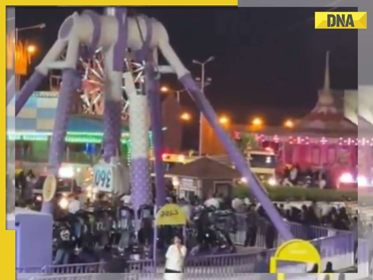 At least 23 escapes death after 360 pendulum ride breaks into half in Saudi Arabia, terrifying video goes viral, watch
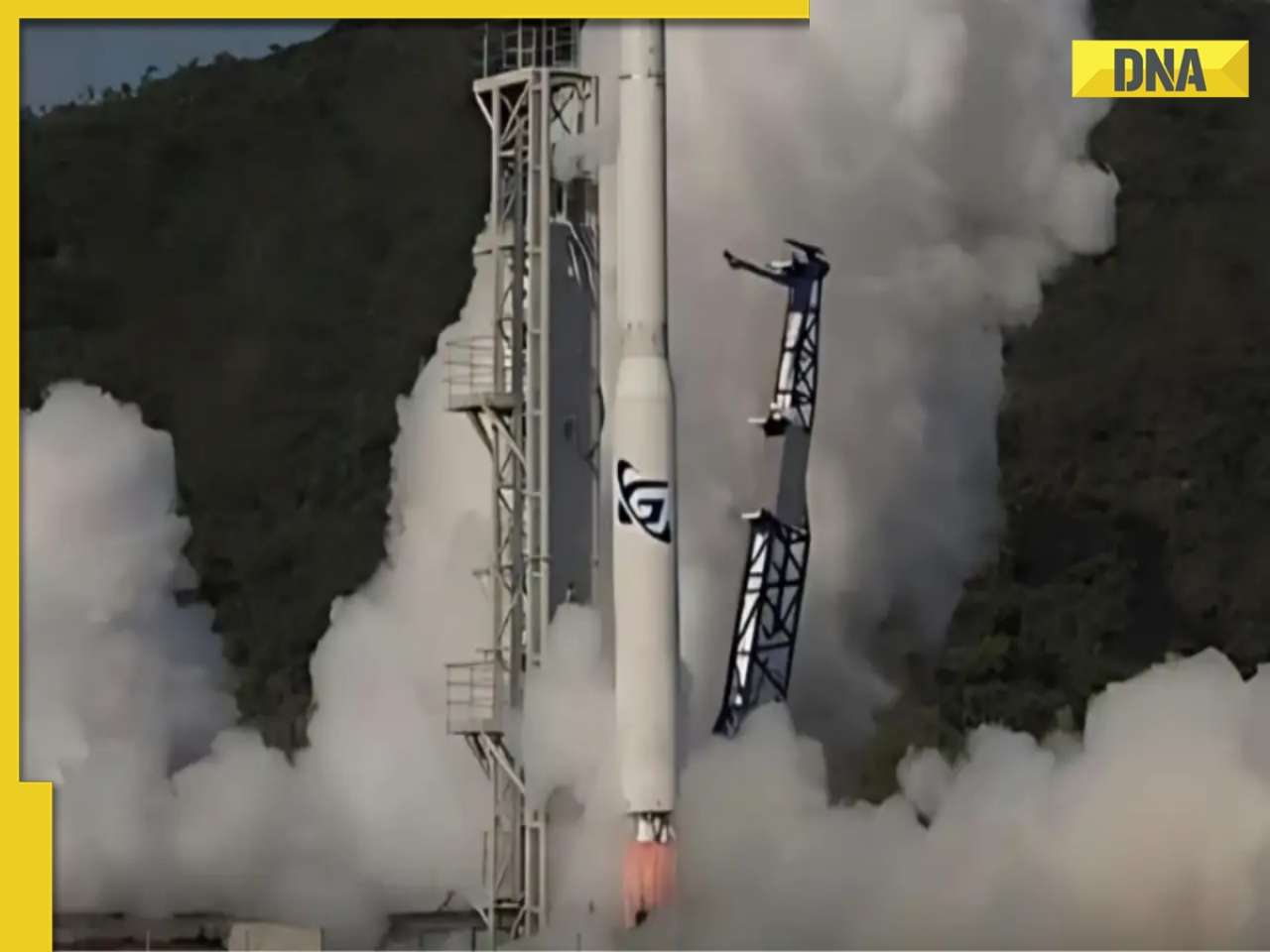 First Australian-built rocket, ‘Eris,’ crashes 14 seconds of flight in a failed attempt to reach orbit, watch video
  LoP Rahul Gandhi agrees with Donald Trump calling Indian economy 'dead', says glad US president 'stated a fact'
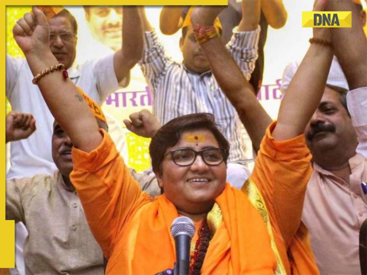 Who is Pragya Thakur? From ABVP, RSS to Malegaon blast accused to BJP MP, long journey of Hindutva icon
 Tata Harrier EV Review | Most Advanced Electric SUV from Tata?
 Vida VX2 Plus Electric Scooter Review: Range, Power & Real-World Ride Tested!
 MG M9 Electric Review | Luxury EV with Jet-Style Rear Seats! Pros & Cons
 Iphone Fold: Apple’s iPhone Fold Could Solve Samsung’s Biggest Foldable Problem | Samsung Z Fold 7
 Trump News: Congress Seeks Answers On Trump's Alleged Mediation In Operation Sindoor
 Another masterstroke by Mukesh Ambani as his company plans this big acquisition, could challenge Pepsi, Coca-Cola
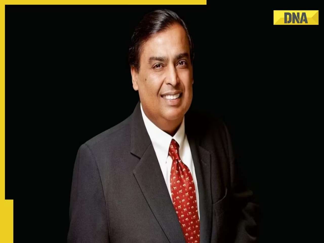 Mukesh Ambani's SUPERHIT Reliance Jio plans under Rs 300: Unlimited calls, 100 SMS, JioCloud, Jio TV and other benefits
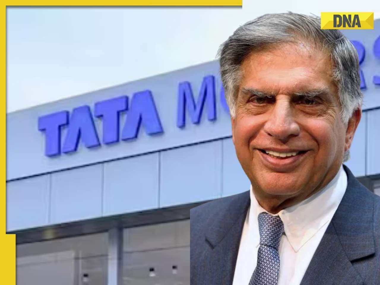 Ratan Tata's Tata Motors takes BIG step, set to acquire THIS company in Rs 382400000000 deal
 Who is Mira Murati? Former OpenAI CTO who rejected Mark Zuckerberg-led Meta's whopping Rs 8,700 crore offer to join...
 From Aneet Padda to Wamiqa Gabbi: Bollywood's rising female talents who are leaving a lasting impact on-screen
 Birthday Special: Kiara Advani’s upcoming power-packed lineup
  This Indian actress was first ever to own Rolls-Royce, played princess in India’s most expensive film of 50s, died due to…, her name is..
 Ravi Dubey-Sargun Mehta begin shooting for their new project in Varanasi on Shravan Somwar; SEE PICS
 Aneet Padda’s dreamy pastel pink saree from Saiyaara with Ahaan Panday is all over your mind? Get her look for just Rs...
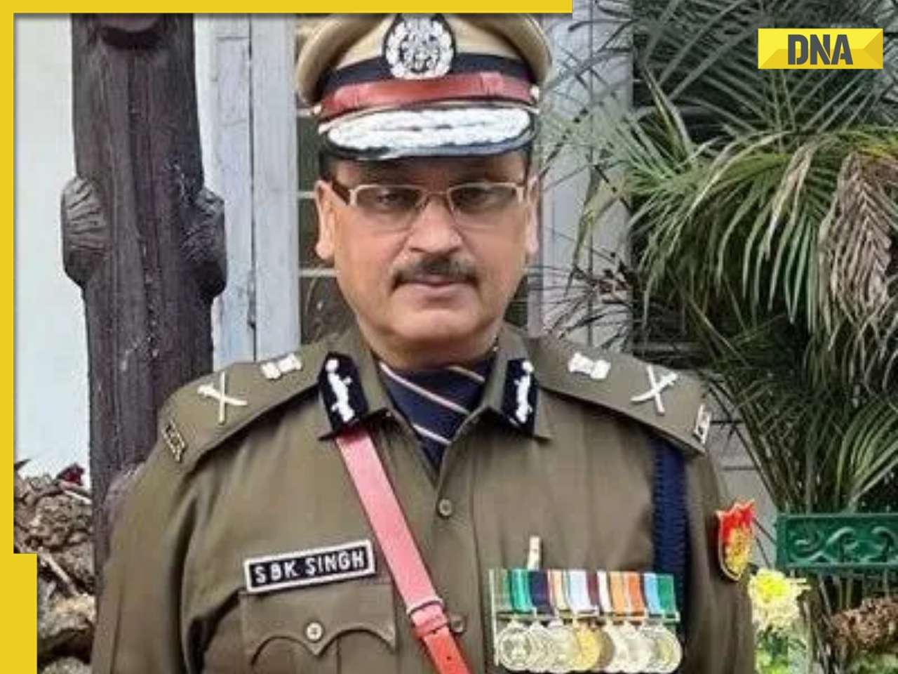 Meet IPS SBK Singh, appointed new Delhi Police Commissioner with additional charge after Sanjay Arora's retirement
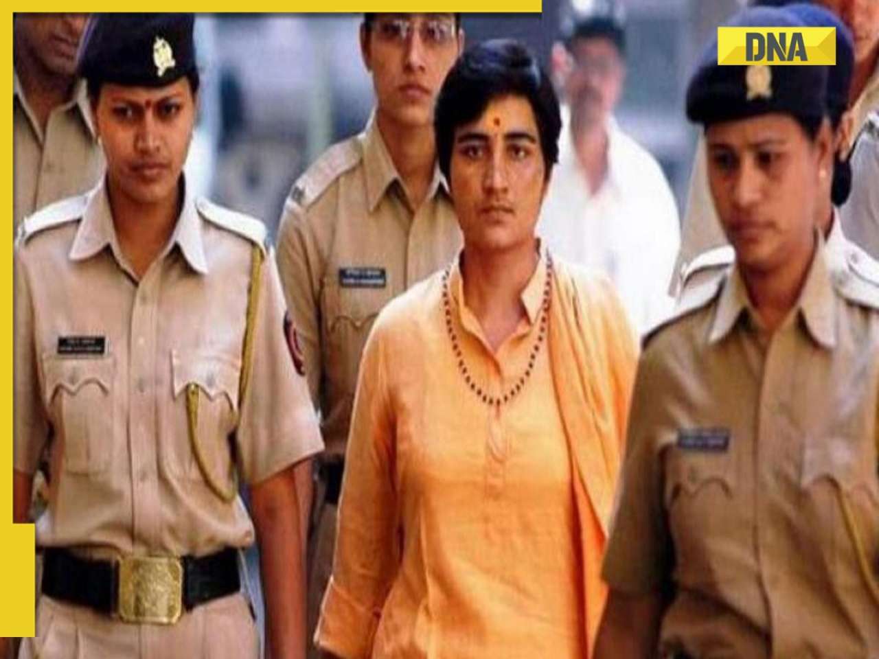 What happened at Malegaon 18 years ago that changed narrative on terrorism? Pragya Thakur and Lt Col Purohit were...
 2008 Malegaon blast case verdict: Ex-BJP MP Pragya Thakur, Lt Col Prasad Purohit and 5 other accused acquitted
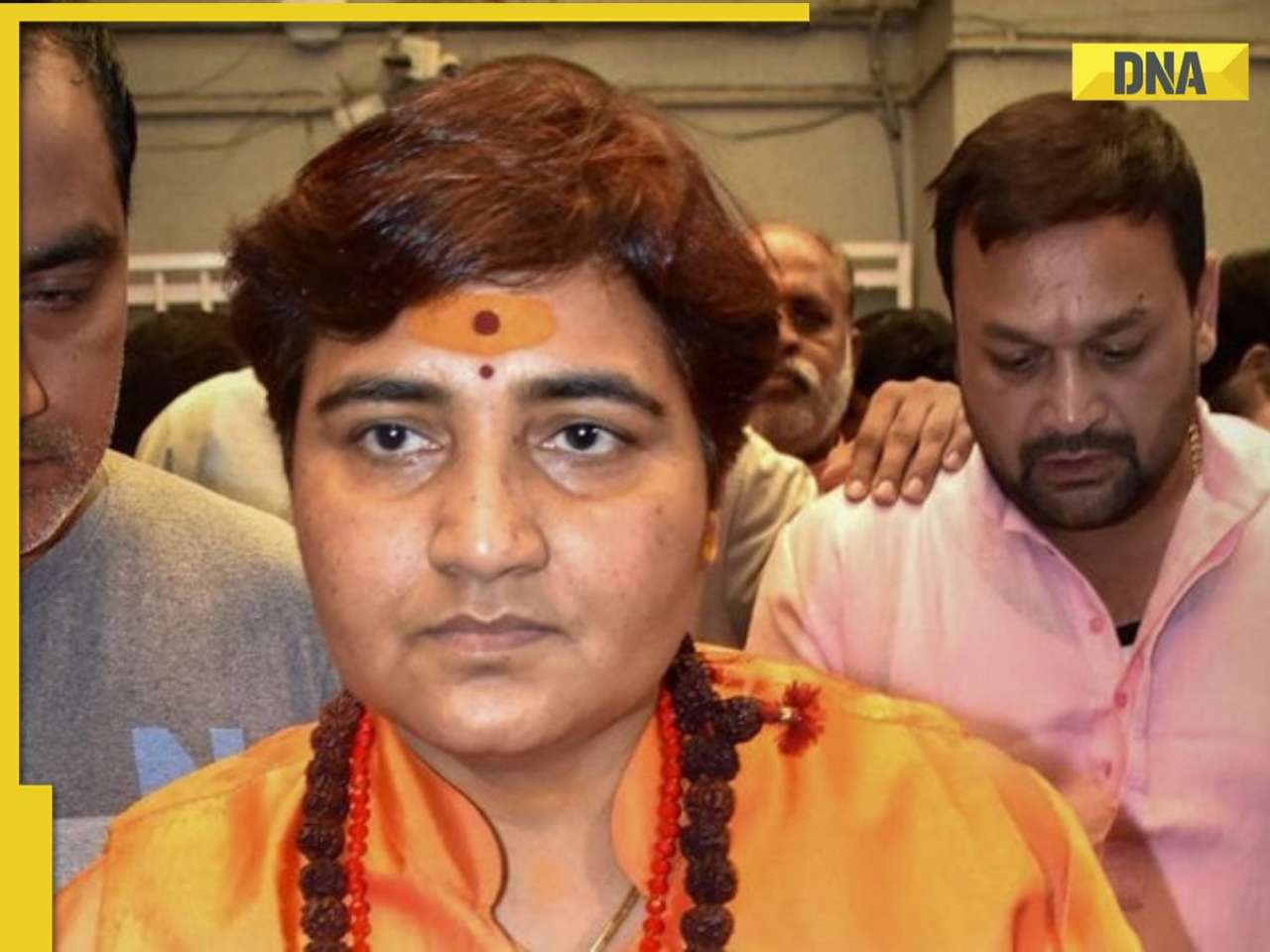 From Pragya Thakur and Lt Col Prasad Purohit: Who are the seven accused of Malegaon 2008 blast case?
 Meet woman, who studied 8 hours a day to fulfill IAS dream, cracked UPSC exam on 3rd attempt with AIR...; know about her preparation strategy and more
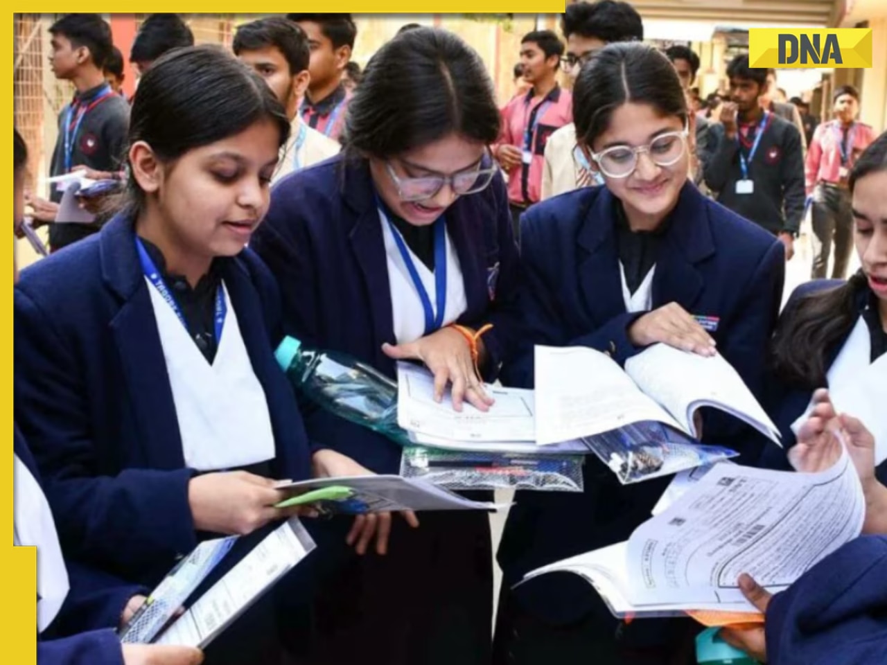 CBSE Class 10, 12 Compartment Exams result expected on...; here's how you can download it
 Meet woman, a DU graduate, sister of a Chartered Accountant, who cleared UPSC exam on her third attempt with AIR..., she is...
 Meet woman, who lost her home in 2004 tsunami, cracked UPSC exam twice, is sister of IPS officer, currently posted as...
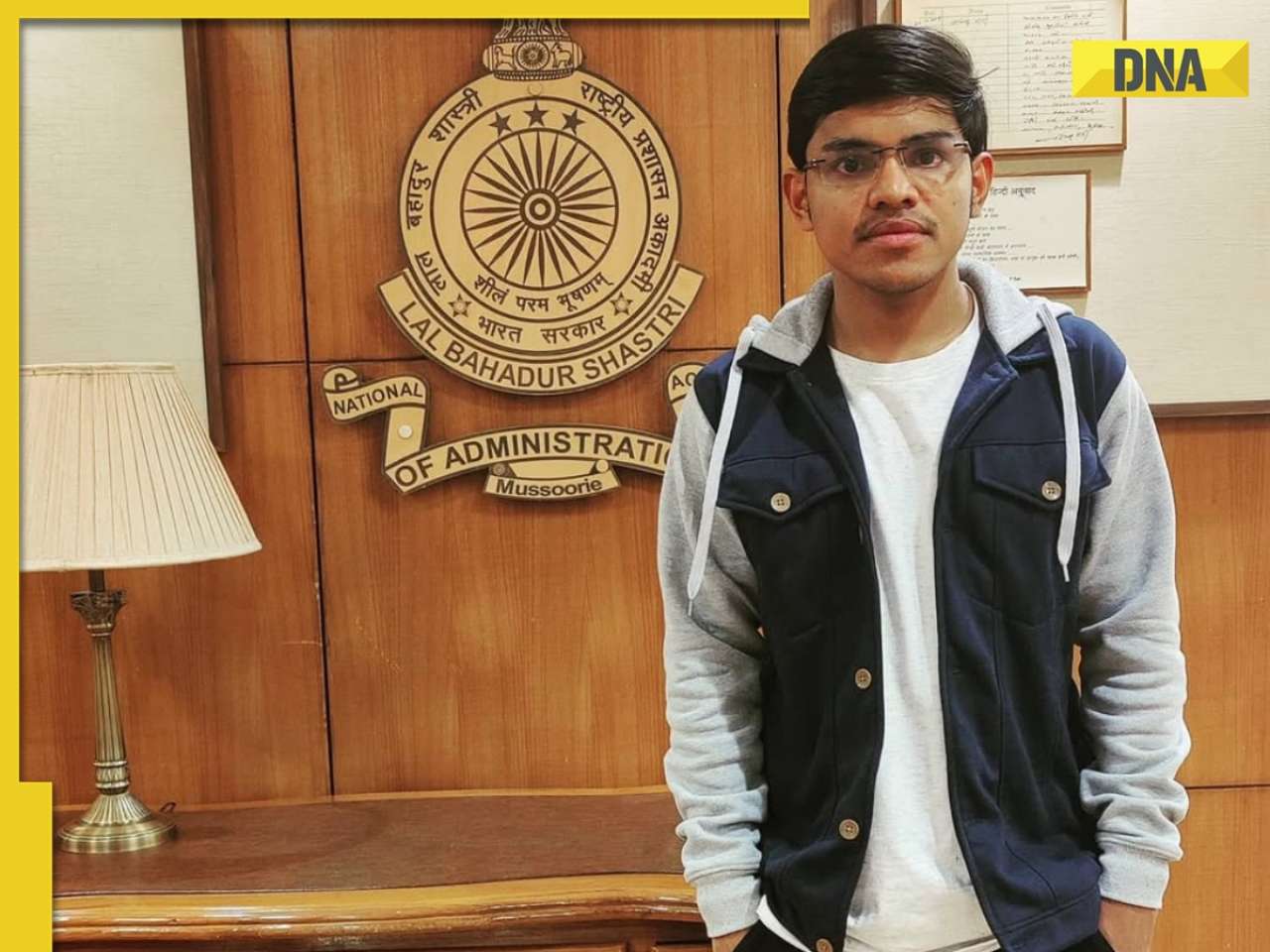 Meet man, whose father sold his house to fund his son's education, later cracked UPSC exam at the age of 23 in first attempt, his rank was..., he is from...
 Maruti Suzuki's e Vitara set to debut electric market at Rs..., with range of over 500 km, to launch on...
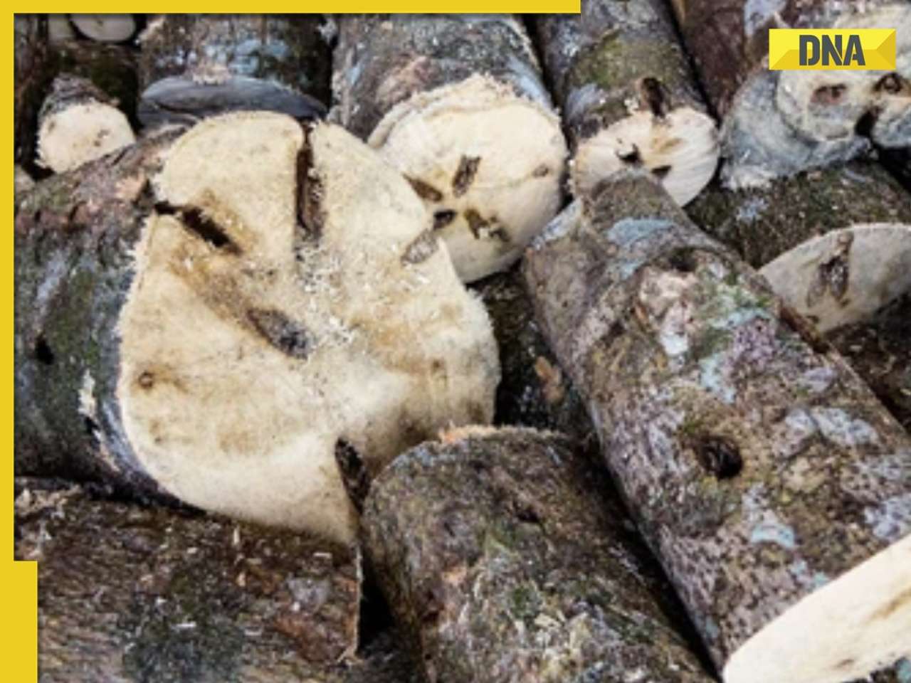 This is world’s most expensive wood, cost of 1kg wood is more than gold, its name is..., is found in...
 This luxury car is first choice of Indians, even left BMW, Jaguar, Audi behind in sales, it is...
 Kia India unveils Carens Clavis: Check features, design changes, price and more; bookings open on...
 Tesla CEO Elon Musk launches most affordable Cybertruck, but it costs Rs 830000 more than older version, it is worth Rs...


 "ISRO successfully launches NISAR satellite to track climate threats from space")
)
)
)
)
)
)
)
)
)
)
)
)
)
)
)